A small coastal pilot
가덕도 · Moon & Sea
Station details
DT_0063 · 35.02417°N, 128.81093°E
AS THE MOON CHANGES, THE SEA RESPONDS
One coast. A changing tidal range.
Compare seven days of lunar phases with the difference between this station’s highest and lowest predicted tide heights.
- Highest predicted height
- 195 cm
- Lowest predicted height
- 39 cm
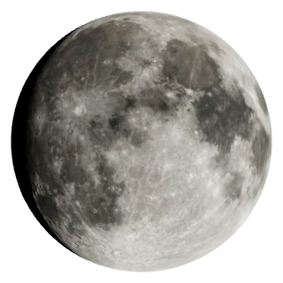
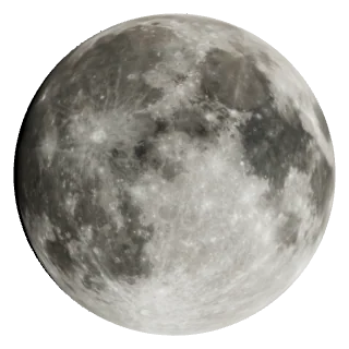
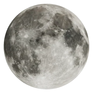
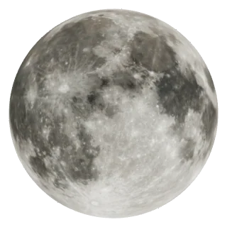
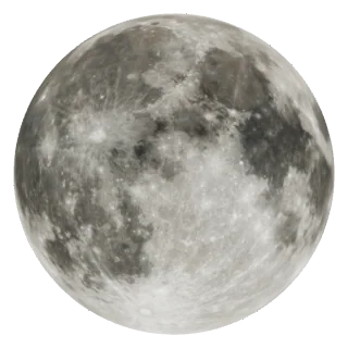
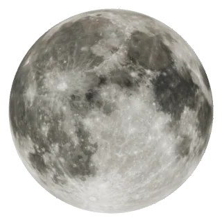
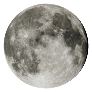
Moon phase: noon KST · Tide heights: provider predictions
Bars compare daily height differences at this station within this seven-day window. They are not a continuous water-level curve or current speed. The scale changes with the window.
Moon phases are calculated. Height comparisons appear after loading station predictions.
Compare seven days of tidesHow are the Moon and sea connected?
The Moon and Sun’s tidal effects reinforce each other around new and full moons, generally producing larger tidal ranges. Ranges tend to be smaller around quarter moons.
Coast shape, water depth and local timing also matter. Lunar phase alone does not establish this station’s spring or neap tide dates.
NOAA · Spring and neap tides ↗ · Why local timing differs ↗Choose date
Next tide event
High tideSat, 26 September 2026 · 195 cm
A day of tides, at a glance
Provider prediction
- Low tide41 cm
- High tide189 cm
- Low tide39 cm
- High tideNEXT195 cm
Markers show predicted high/low tide times, not water levels or currents between events.
View detailed table
| Local time | Event | Predicted height |
|---|---|---|
| Low tide | 41 cm | |
| High tide | 189 cm | |
| Low tide | 39 cm | |
| High tide | 195 cm |
Data and limitations
Vertical datum: unverified. Heights are not water depth or a clearance measurement.
High and low tides only. No continuous water-level curve, measured current level, or tidal-current estimate is inferred.
Retrieved: Sat, 26 September 2026 15:46
Provider production time: not supplied