← Choose a port
한국어English日本語简体中文繁體中文

A small coastal pilot

신안가거초 · Moon & Sea

Station details

IE_0061 · 33.94194°N, 124.59277°E

AS THE MOON CHANGES, THE SEA RESPONDS

One coast. A changing tidal range.

Compare seven days of lunar phases with the difference between this station’s highest and lowest predicted tide heights.

Daily highest–lowest predicted height difference—
Highest predicted height
—
Lowest predicted height
—
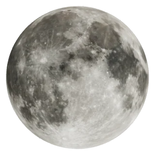
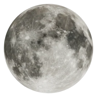
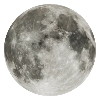
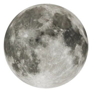
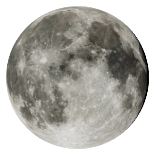
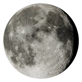
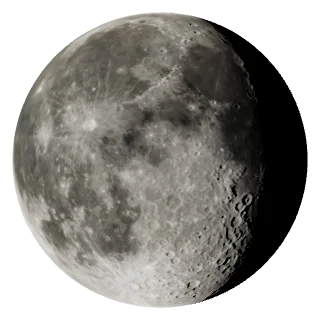
09/25Waxing gibbous—No data09/26Full Moon—No data09/27Full Moon—No data09/28Waning gibbous—No data09/29Waning gibbous—No data09/30Waning gibbous—No data10/01Waning gibbous—No data

Moon phase: noon KST · Tide heights: provider predictions

Bars compare daily height differences at this station within this seven-day window. They are not a continuous water-level curve or current speed. The scale changes with the window.

There are not enough complete, fresh predictions to compare. Missing days are never estimated from lunar phase.

Refresh seven days ↗
How are the Moon and sea connected?

The Moon and Sun’s tidal effects reinforce each other around new and full moons, generally producing larger tidal ranges. Ranges tend to be smaller around quarter moons.

Coast shape, water depth and local timing also matter. Lunar phase alone does not establish this station’s spring or neap tide dates.

NOAA · Spring and neap tides ↗ · Why local timing differs ↗
←Mon, 28 September 2026→
Today
Choose date

Selected date · no live countdown

This is a selected-date timetable, not a live next-event view.

A day of tides, at a glance

Not available

The request limit has been reached. Try again later.

Data and limitations

Vertical datum: unverified. Heights are not water depth or a clearance measurement.

High and low tides only. No continuous water-level curve, measured current level, or tidal-current estimate is inferred.

Refresh data ↻

BEFORE THE COAST

Before you head to the coast

A tide timetable is not a sea-condition forecast. Check the sea area, forecast time and on-site restrictions separately.

Marine wind
Available for today

신안가거초

Wave height
Available for today

Water current
Available for today

Weather warnings
Available for today

Nationwide · check your area

Current observations: wind at the port gauge, waves and currents at a separate offshore buoy. They may differ from your beach. Missing or outdated readings are withheld.

Sources · KHOA wind · KHOA buoy · KMA warnings

KMA marine forecast (Korean)↗KMA weather warnings (Korean)↗
Forecast and on-site guidance

Official pages open separately. Select your sea area and check the issue time and forecast period. This page does not transfer the port or selected date to those sites.

Local access restrictions are not checked here. Confirm with the site operator and follow posted restrictions.

Not for navigation, entering the water, or deciding when to cross tidal flats. No entry, exit or fishing-success prediction is provided.

Reading this timetable
High and low tide
The high and low points of predicted water level at this port. They do not establish when the current stops.
Tide and current
Tides describe water-level changes; currents describe horizontal flow. This timetable does not calculate current speed.
Predicted height and depth
Tidal height needs a stated reference level. The reference level is unverified here; do not read centimetres as water depth or clearance.

A prediction for a port does not apply unchanged to every nearby beach or tidal flat.

Tides and currents: NOAA (English) ↗
Tide source: KHOA high/low prediction API (Korean) ↗
OH MY LUNA
Today's MoonCalendarTonightStargazingMoon & SeaMoon Guide
Moonrise by citySky compassMoon & SeaMoon eventsLunar date converterMy birthday MoonMoon Phase SoulmateMoon around the worldEmbed widget
AboutContactPrivacy policyTerms of serviceCredits & licences

© 2026 Oh My Luna

Moon GuideCalendarToday's MoonTonightStargazing